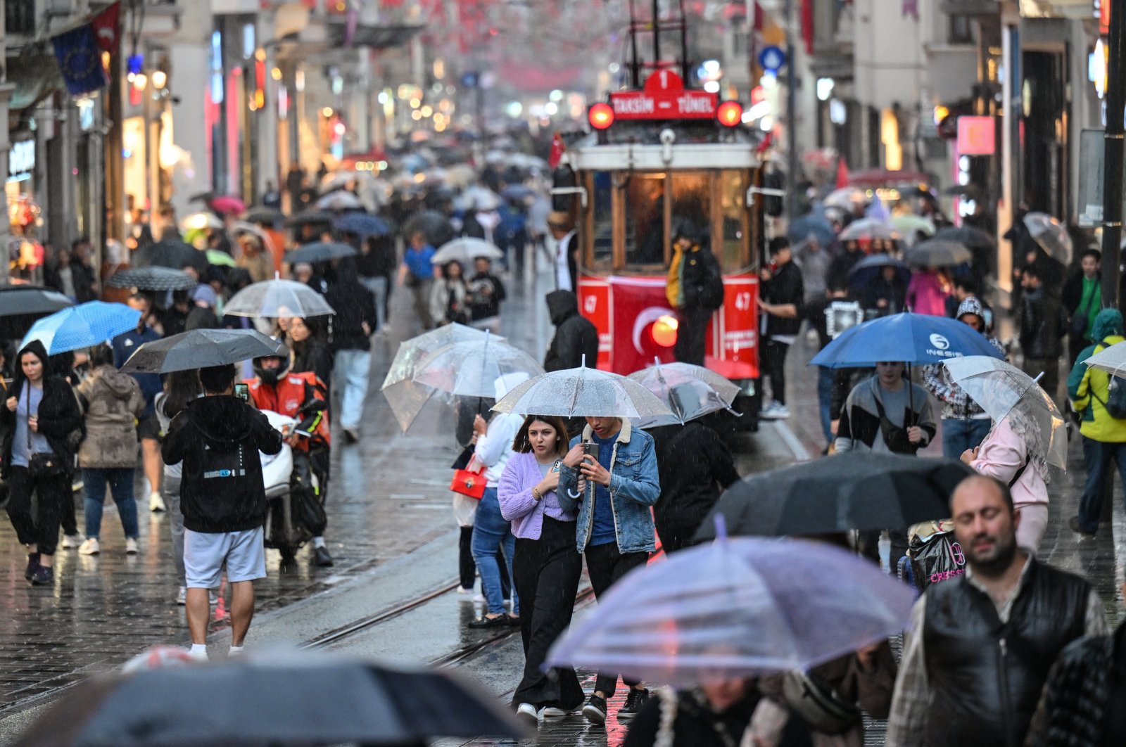
The current weather conditions in Türkiye resemble those of 50 years ago due to the intense rainfall in November, according to professor Mikdat Kadıoğlu, the head of the Department of Meteorological Engineering at Istanbul Technical University.
Kadıoğlu explained on Sunday that the system causing heavy rainfall, which began in the middle of this month, is a return to Türkiye's weather patterns from half a century ago. He attributed this phenomenon to the fact that polar regions have warmed more than the equator due to global warming. Consequently, warm and cold fronts have been passing through the northern regions of the country more frequently in recent years.
Highlighting the impact of climate change on precipitation, Kadıoğlu expressed concern that winters are not receiving sufficient snowfall and other precipitation as warm, convective rainfalls, typically observed during the warmer months, have become more prevalent.
"In the days corresponding to November this year, a low-pressure center, along with the associated warm and cold front, made its way from the Balkans to Iran, bringing the much-needed rainfall we have been missing," Kadıoğlu stated. He emphasized that the movement of this low-pressure center along the northern part of Istanbul and the Black Sea coast resulted in heavy rainfall and strong winds.
Drawing attention to the formation of strong winds in areas where the rotation and movement direction of the low-pressure center are parallel, Kadıoğlu explained that the negative state of the North Atlantic Oscillation (NAO) is another reason for the current exposure to this mid-latitude storm. NAO refers to changes in the values of two pressure systems, the Iceland Low Pressure and the Azores (Bermuda) High Pressure, located above the North Atlantic Ocean.
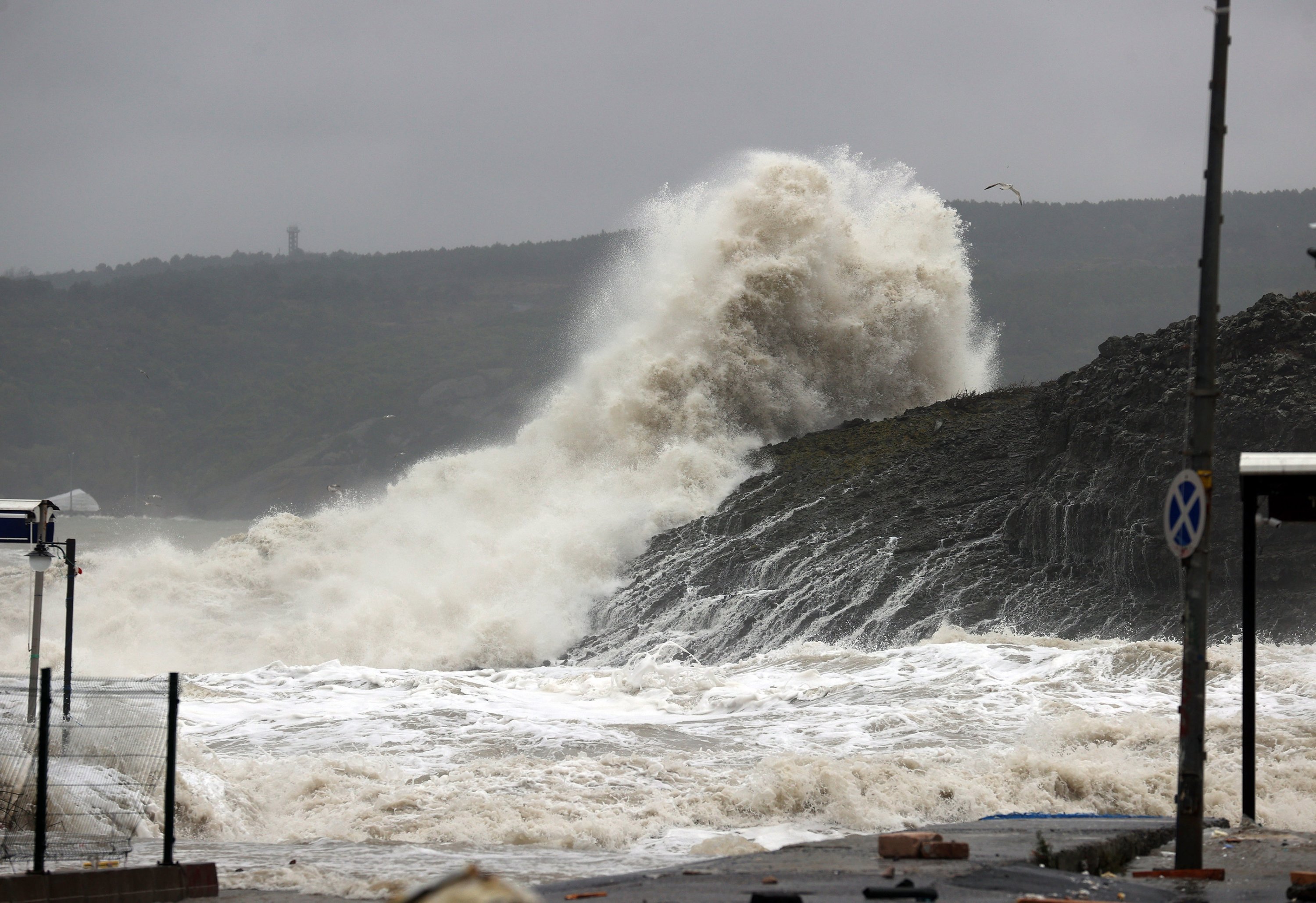
Regarding the excessive rainfall from the recent front system, Kadıoğlu attributed it to the consecutive movement of storm cells along the front line in a southwest-to-northeast direction, similar to train cars.
"In summary, the frontal system we encountered in the middle of November this year represents our weather system from 50 years ago – a memory from a time when climate change did not affect the orbits of low-pressure centers," Kadıoğlu concluded.
Surface, water
Commenting on the rapid occurrence of rainfall in storm lines, Kadıoğlu emphasized the erosive impact of raindrops on bare soil, particularly in rural areas. He explained that in urban areas with impermeable surfaces like concrete and asphalt, rainfall quickly transitions to surface flow, leading to issues such as flooded roads and basements.
Kadıoğlu highlighted the importance of rainwater harvesting for water conservation in Türkiye, a country characterized by arid and semi-arid climates. He suggested placing water collection containers such as tanks, barrels or bins at the end of rainwater pipes coming down from roofs. This harvested water can then be used for activities such as washing cars and stairs, and watering lawns, providing a practical measure for both water conservation and flood prevention.
Furthermore, Kadıoğlu proposed slowing down surface flows and facilitating underground absorption by creating light soil barriers. He recommended covering bare soil surfaces with mulch to reduce evaporation, allowing the underground water to nourish plant roots. He provided an example from 2015 in Ankara, where a 100-square-meter (1,076.39-square-foot) roof area could store approximately 38,000 liters (10,038.54 gallons) of rainwater, equivalent to flushing a toilet 6,300 times per year.
The professor urged individuals to calculate potential water savings based on the average annual rainfall in their region, multiplied by the square meters of their buildings, to gain insights into achievable water conservation measures.