© Turkuvaz Haberleşme ve Yayıncılık 2026
Scientifically, the term desert is used to describe regions that receive less than 250 millimeters (10 inches) of precipitation per year. It is a barren area where rain rarely occurs and, as a result, living conditions are unproductive for plant and animal life. They are vast oceans of sand, enchanting and dazzling those who look upon them. They are unfriendly yet mesmerizing parts of the world. So, let's take a closer look at them.
About one-third of the world's land surface is arid or semi-arid, lending itself easily to deserts. Deserts are formed by weathering processes, as large temperature changes between day and night put stresses on the rocks and as a result, break them apart.
These vast and often frightening patches of land are often divided into hot and cold deserts.
Living things in cold deserts have adapted to climatic conditions by nature and are very valuable due to their low numbers.
In hot deserts, the scarcity of water makes living conditions difficult. Desert creatures living here store water in various ways or make use of the water from the food they consume.
Let's examine the world's 10 largest deserts together.

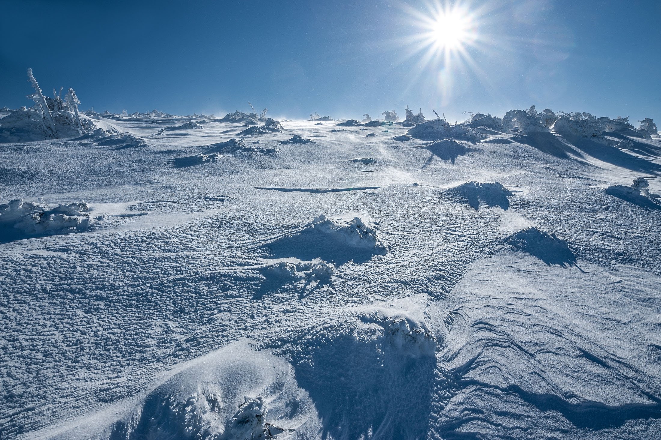
Although hot and sandy is the first thing that comes to mind when we think of deserts, Antarctica is an arctic desert that receives little precipitation.
The continent receives an average of 150 millimeters of precipitation per year, mostly in the form of snow. For this reason, it is referred to as the largest and driest desert in the world.
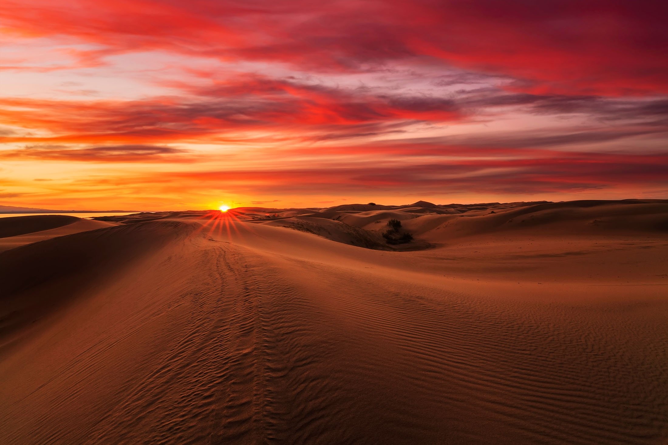
The Sahara Desert – or the Great Sahara – is the largest hot desert in the world, located in the north of Africa, with an area of 9,200,000 square kilometers (3,600,000 square miles), separating the middle and the north of the continent.
Contrary to popular belief, sand seas or large areas covered with sand dunes also called ergs, while reaching heights of over 180 meters (590 feet) form only a minor part of the Sahara, covering only one-fifth of the entire desert. The rest of the desert is mainly made up of rocky hamada, or stone plateaus.
Some parts of the Sahara have received no rain for 10 years in a row. The desert floor is very rich in mineral nutrients, as the rains do not wash away the minerals and the plants do not consume them.
The Gobi Desert is a large desert or brushland region in East Asia. The Gobi is generally a cold desert with frost and occasional snow on the dunes.
The desert receives an average of 194 millimeters of rain per year.
Despite the harsh conditions, lizards adapt well to the climate of the Gobi Desert, with about 30 species scattered across the southern Mongolian border.
The most common vegetation is shrubs which have adapted to the drought.
The Kalahari Desert is a large semi-arid sandy savanna in Southern Africa extending 900,000 square kilometers between Botswana, parts of Namibia and South Africa.
Its name is derived from the Tswana word Kgala, meaning "the great thirst," or Kgalagadi, meaning "a waterless place."
The Kalahari has vast areas covered by red sand without any permanent surface water.
A semi-desert, with huge tracts of excellent grazing after good rains, the Kalahari supports more animals and plants than a true desert.
There are small amounts of rainfall and the summer temperature is very high. The driest areas usually receive 110 to 200 millimeters of rain per year, but the wettest spots can go a little over 500 millimeters.

The Rub al-Khali, meaning "Empty Quarter," is a sand desert encompassing most of the southern third of the Arabian Peninsula, covering approximately 693,000 square kilometers.
It is located between the cities of Adrac, El Faraj, Cabrin, Dilam, Al-Amar, Al Hatataba.
The region is classified as "hyper-arid," with annual precipitation generally less than 35 millimeters. Daily maximum temperatures average 47 degrees Celsius (117 degrees Fahrenheit) in summer, reaching peaks of 51 degrees Celsius. The daily minimum average is 12 degrees Celsius in winter, although frosts have been recorded. Daily extremes of temperature are considerable.
The desert has hosted numerous expeditions and even was home to director Denis Villeneuve and his crew for the science fiction film "Dune" as they used locations the Rub al-Khali in Abu Dhabi for scenes of the desert planet Arrakis.
The Patagonian Desert, also known as the Patagonian Steppe, is the largest desert in Argentina and covers an area of 673,000 square kilometers. The middle parts of the steppe are dominated by shrubs and herbaceous plants.
Topographically, it consists of alternating plateaus and massifs broken up by deserts, river valleys, and canyons.
The more western parts of the steppe are home to lakes of glacial origin, and along the valleys, they turn into barren mountains or cold temperate forests.
The Taklamakan Desert has an area of 337,000 square kilometers, making it slightly smaller than Germany.
The desert is part of the Tarim Basin, an endorheic basin in northwest China.
It is crossed at its northern and at its southern edge by two branches of the Silk Road, by which travelers sought to avoid the arid wasteland. It is the world's second-largest shifting sand desert, with about 85% made up of shifting sand dunes.
Dunes range in height from 18 meters up to as much as 91 meters. The few breaks in this sea of sand are small patches of alluvial clay.
Generally, the steeper sides of the dunes face away from the prevailing winds.
The Great Victoria Desert is a sparsely populated desert region of Western and South Australia.
It is the largest desert in Australia and consists of many small sandhills, grassland plains, areas with a closely packed surface of pebbles, and salt lakes.
It is over 700 kilometers wide and covers an area of 348,750 square kilometers. In its west lies the Western Australian mulga shrublands ecoregion, in its north the Little Sandy Desert, the Gibson Desert and the Central Ranges xeric shrublands, in its east the Tirari-Sturt stony desert, and in its south the Nullarbor Plain separates it from the Southern Ocean.
Average annual rainfall ranges from 200 to 250 millimeters per year.
Thunderstorms are relatively common in the Great Victoria Desert, with an average of 15 to 20 thunderstorms yearly.
The Sonoran Desert (Spanish: Desierto de Sonora) is a North American desert and ecoregion that covers part of the southwestern United States in Arizona and California, as well as the northwestern Mexican states of Sonora, Baja California, and Baja California Sur.
It is the hottest desert in both Mexico and the U.S. It has an area of 260,000 square kilometers.
The desert contains a variety of unique endemic plants and animals, notably, the saguaro (Carnegiea gigantea) and organ pipe cactus (Stenocereus thurberi).
It is clearly distinct from nearby deserts like the Mojave, because it provides subtropical warmth in winter and two seasons of rainfall. This creates an extreme contrast between aridity and moisture.
The Arabian Desert is a vast desert wilderness in Western Asia. It stretches from Yemen to the Persian Gulf and Oman to Jordan and Iraq. It occupies most of the Arabian Peninsula, with an area of 2,330,000 square kilometers.
It is the fifth largest desert in the world, and the largest in Asia. At its center is something we covered earlier, the Rub al-Khali, one of the largest continuous bodies of sand in the world.
Gazelles, oryx, sand cats and spiny-tailed lizards are just some of the desert-adapted species that survive in this extreme environment, which features everything from red dunes to deadly quicksand.
The climate is mostly dry with the major part receiving around 100 millimeters of rain per year, and temperatures oscillate between very high heat and seasonal nighttime freezes.
The region has little biodiversity, although a few endemic plants grow here.
Many species, such as the striped hyena, jackal and honey badger have died out as a result of hunting, habitat destruction, overgrazing by livestock, off-road driving and human encroachment on their habitat.
Other species, such as the Arabian sand gazelle, have been successfully reintroduced and are protected at a number of reserves.
