© Turkuvaz Haberleşme ve Yayıncılık 2024
A new high-tech study, locating 1,000 settlements on the map, has unfurled the grand settlement of ancient Mayan civilization.
It is the latest discovery of roughly 3,000-year-old Maya centers and related infrastructure, according to a statement on Monday from a team from Guatemala's FARES anthropological research foundation overseeing the so-called LiDAR studies.
The findings were first published last month in the journal Ancient Mesoamerica.

All the newly identified structures were built centuries before the largest Maya city-states emerged, ushering in major human achievements in math and writing.
LiDAR technology uses planes to shoot pulses of light into the dense forest, allowing researchers to peel away vegetation and map ancient structures below.
Among the details revealed in the latest analysis are the ancient world's first-ever extensive system of stone "highways or super-highways," according to the researchers.
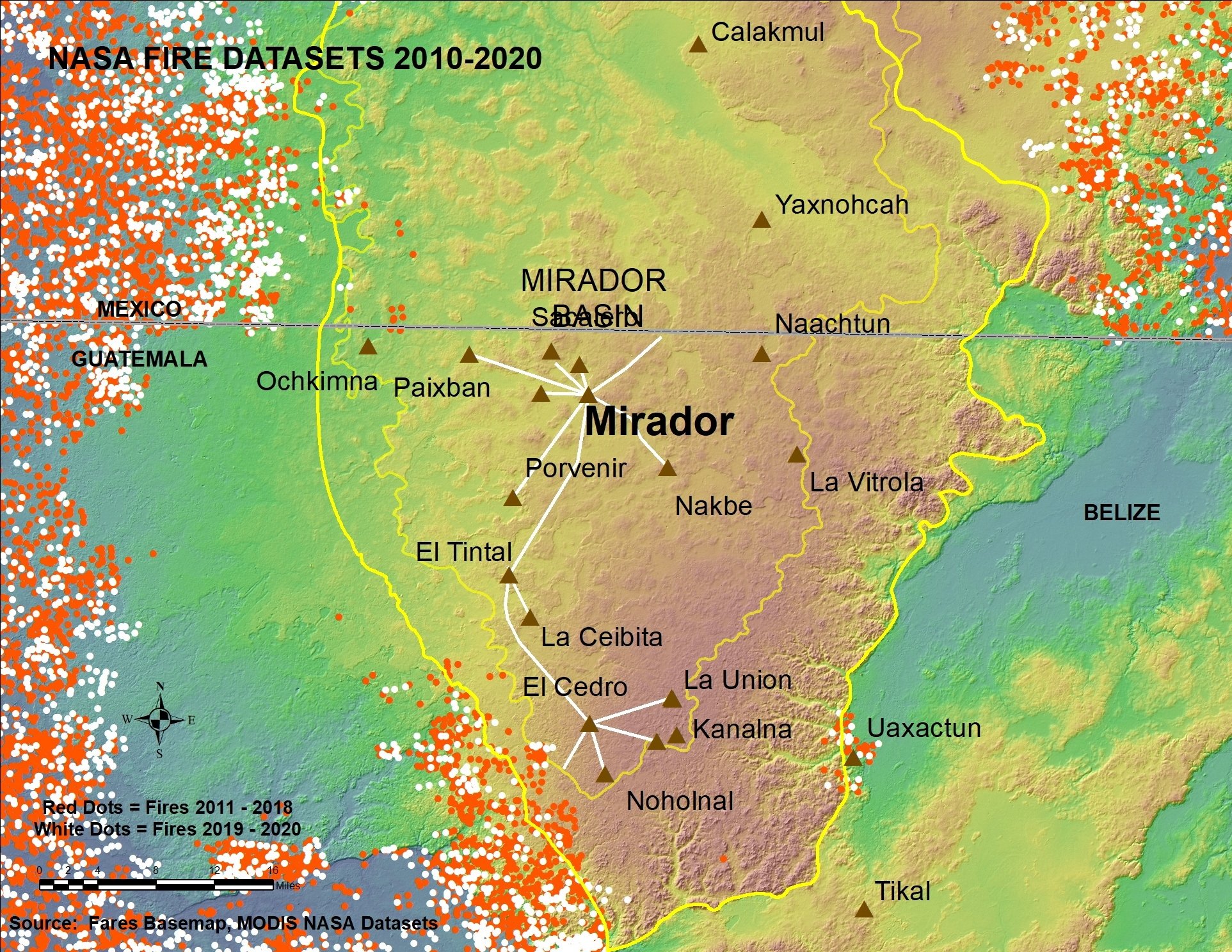
Around 110 miles (177 km) of spacious roadways have been revealed so far, with some measuring around 130 feet (40 meters) wide and elevated off the ground by as much as 16 feet (5 meters).

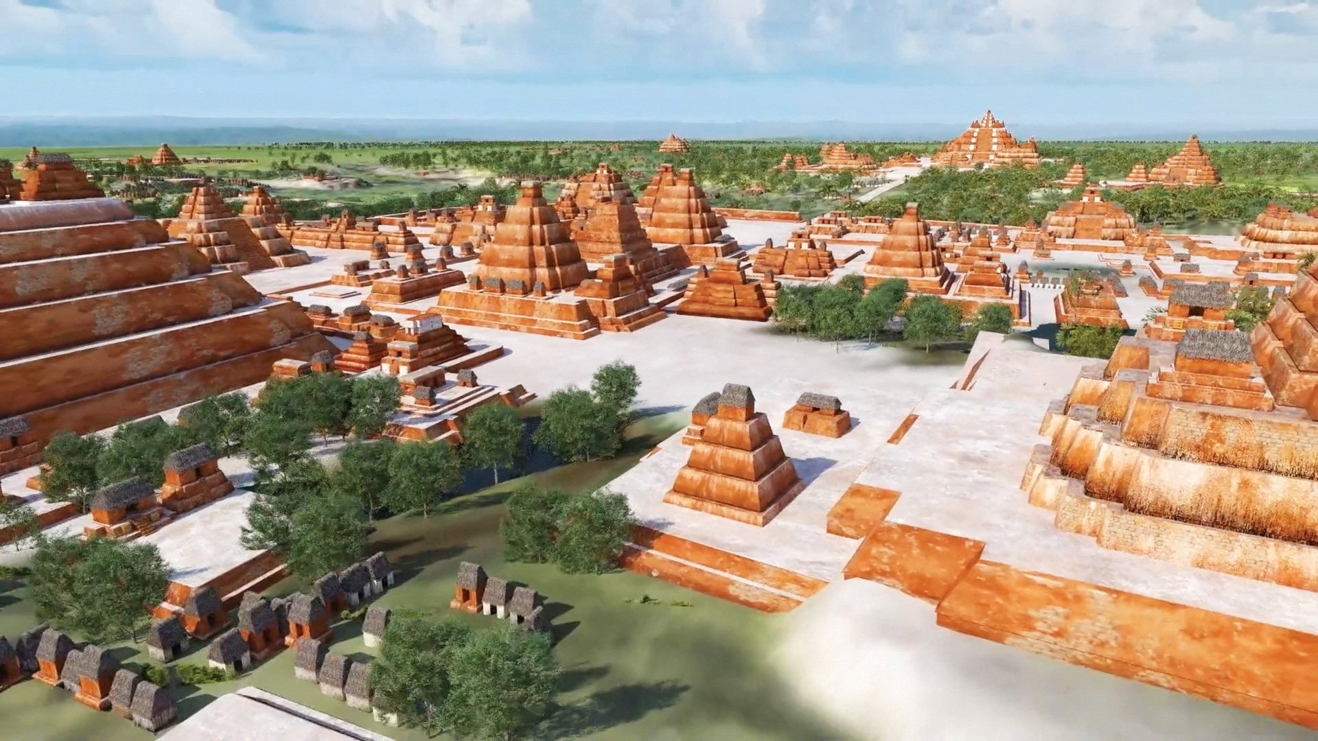
As part of the Cuenca Karstica Mirador-Calakmul study, which extends from northern Guatemala's Peten jungle to southern Mexico's Campeche state, researchers have also identified pyramids, ball game courts plus significant water engineering, including reservoirs, dams, and irrigation canals.
"It shows the economic, political, and social complexity of what was happening simultaneously across this entire area," said lead researcher Richard Hansen.
The latest finds date to the so-called middle to late pre-classic Maya era, from around 1,000-350 BC, with many of the settlements believed to be controlled by the metropolis known today as El Mirador. That was over five centuries before the civilization's classical peak when dozens of major urban centers thrived across present-day Mexico and Central America.
