© Turkuvaz Haberleşme ve Yayıncılık 2025
Bursa Metropolitan Municipality rolled up its sleeves to protect artifacts in Bursa, the first capital of the Ottomans that served as a political and cultural center during the early years of the empire, in case of any earthquakes.
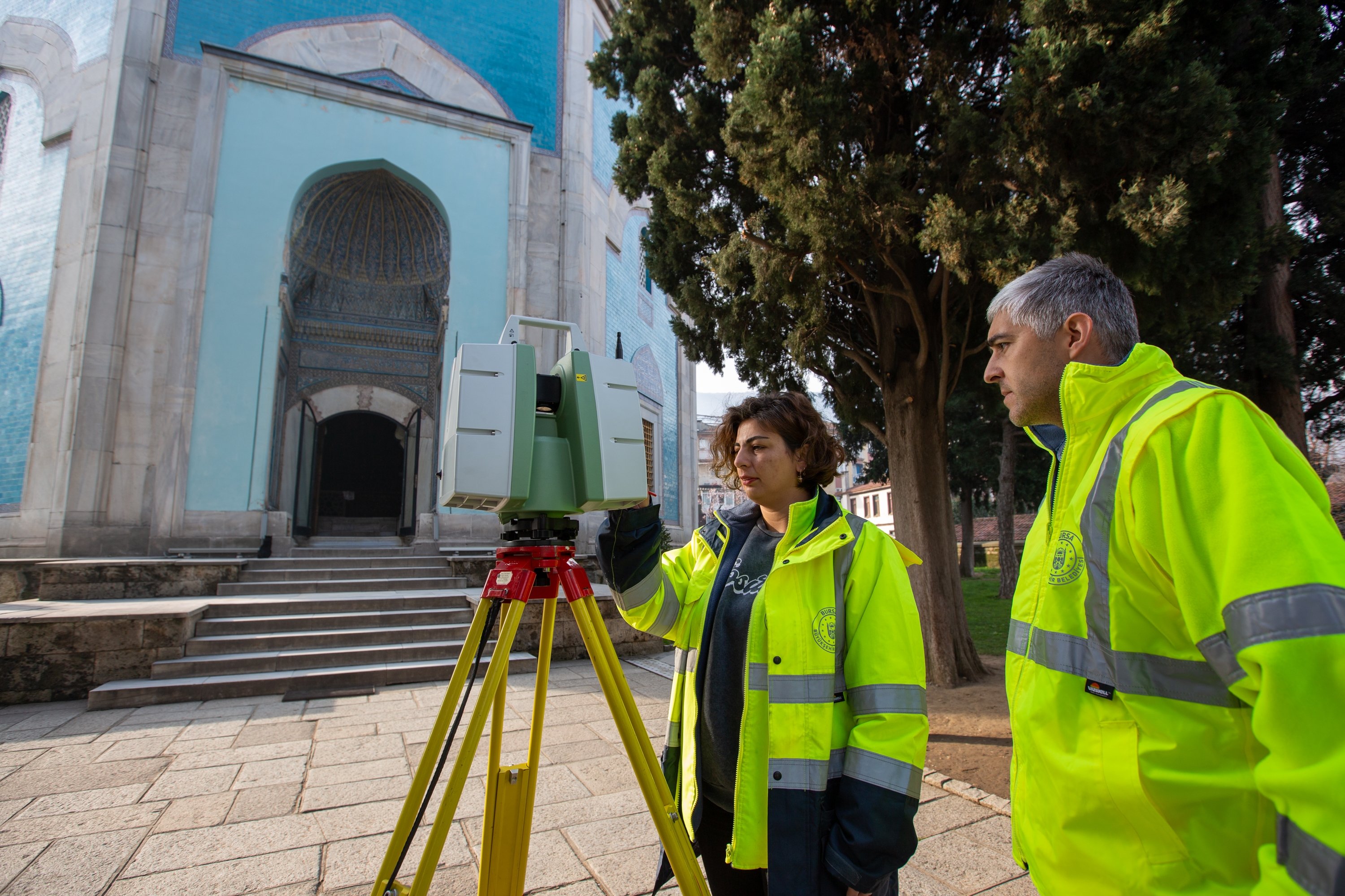
Using advanced technology, the city's Map Branch Directorate teams have been using terrestrial laser scanning devices since 2015 to create 3D models of more than 100 historical landmarks, including the Ulu Mosque, the historical clock tower and the Green Mosque. By measuring billions of points with laser devices, Bursa can recreate these monuments even if they are completely destroyed in an earthquake or other disaster.
As a historical hub of culture and art, producing magnificent architecture, textiles, ceramics and calligraphy, the city of Bursa still carries most of the Ottoman Empire's traces in the most vivid forms.
Bursa Metropolitan Municipality Mayor Alinur Aktaş emphasized the importance of protecting the city's cultural heritage, particularly given Bursa's location in the first-degree earthquake belt. He noted that disasters such as earthquakes that recently destroyed many historical monuments in southeastern Türkiye are making such a project essential in terms of recording and preserving them for future generations.

Also, Aktaş emphasized that the work of the Map Branch Directorate is critical in preserving Bursa's history as it is a unique place that is listed on UNESCO World Heritage List, with the Historical Bazaar and Inns area, Cumalıkızık and Sultan complexes.
Thanks to the use of 3D modeling, the city is taking proactive steps to ensure that its history will not be lost.
